Trekking in the PyreneesA refuge-to-refuge crossing of the Aigüestortes park — with Barcelona at either end
Early June. Barcelona for two days by bike. Then a bus into the mountains, a stamp card in the pack, and four days of walking between guarded refuges at 1,900–2,400 metres.
📖 6 min read🗓️ June 2026📍 Aigüestortes, Catalan Pyrenees, Spain
Some trips sit on the list for years before they happen. Ours to the Catalan Pyrenees was one of them. Early June, we finally booked the flights — a long-simmering plan to string together the guarded high refuges of the Aigüestortes i Estany de Sant Maurici National Park, walking from one to the next with just what we could carry.
It turned into one of the best weeks we've had in the mountains, ever. Alpine lakes still thawing at the edges. Wildflowers pushing up through the last snow. Refuge dinners of stewed chickpeas and river trout. And, because we couldn't resist, Barcelona bookending the whole thing.
The route we walked
Base city: Barcelona (2 days pre- and post-trek, by bike)
Trailhead: Espot (bus from Barcelona)
Refuges in order: Refugi Mallafré (1,890 m) → Refugi Amitges (2,365 m) → Refugi Colomèrs (2,135 m)
Exit village: Salardú, in the Val d'Aran
Season: early June — early enough that some cols still hold snow, late enough that the meadows are in full flower
• • •
Barcelona — two days by bike, then a map shop
We flew in early June. Two days of Barcelona is not enough Barcelona, but it's exactly the right amount before a trek: enough to shake off the flight, ride bikes down every quiet backstreet of El Born and Poblenou, eat well, and forget about deadlines. We covered more ground on rented bikes in two days than we ever have on foot.
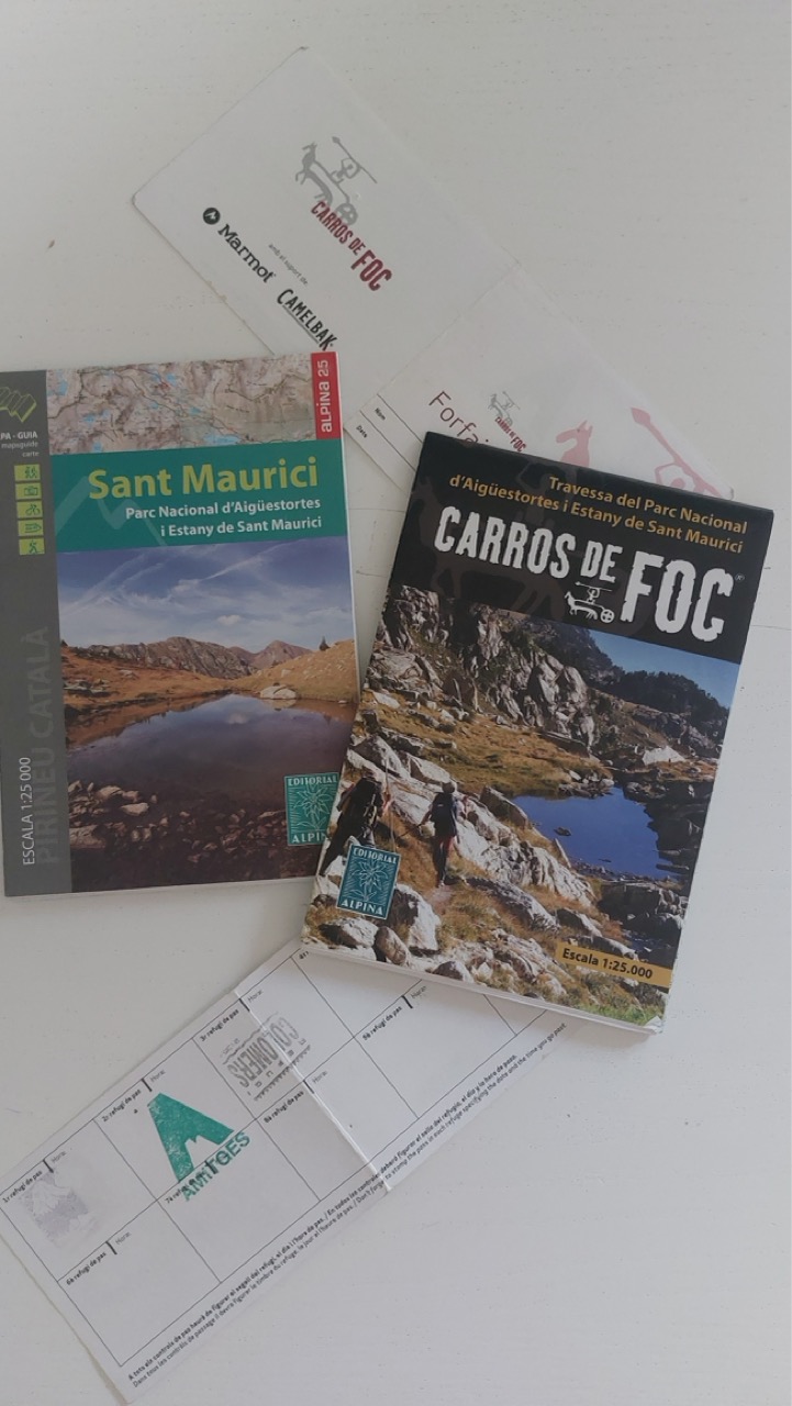
The one non-negotiable stop was Altaïr Llibreria — the mythic travel bookshop on Gran Via. This is where we picked up the paper maps for the crossing: the Editorial Alpina 1:25,000 sheets for the Sant Maurici national park, plus the fold-out Carros de Foc refuge map with its blank grid of squares waiting for stamps. If you're doing anything in the Pyrenees, this is where you get your maps. Full stop.
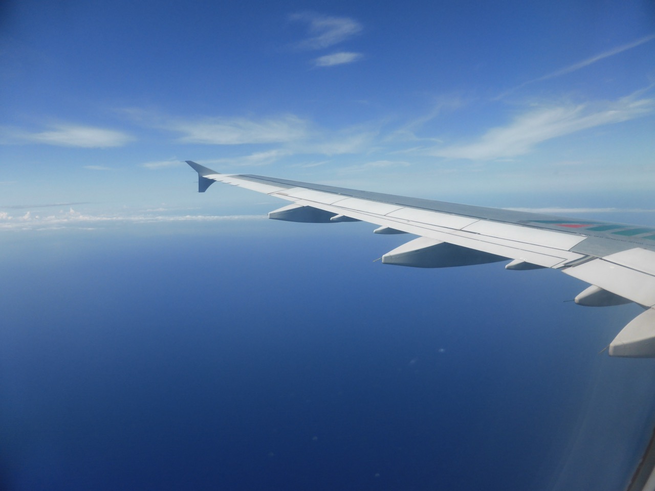
Somewhere over the Mediterranean, early June. Two days of Barcelona to go, four days of walking to earn.The haul from Altaïr. The card at the bottom is the important one — one blank square per refuge, waiting to be stamped as you arrive.
• • •
Espot — the trailhead into the park
The next morning we took the bus north — Barcelona to Espot, a small village in the heart of the Escrita valley with textbook Pyrenean architecture — grey stone, dark slate roofs. From the edge of Espot a short taxi (or a longer walk) takes you to the actual park entrance and the start of the trail toward the Estany de Sant Maurici.
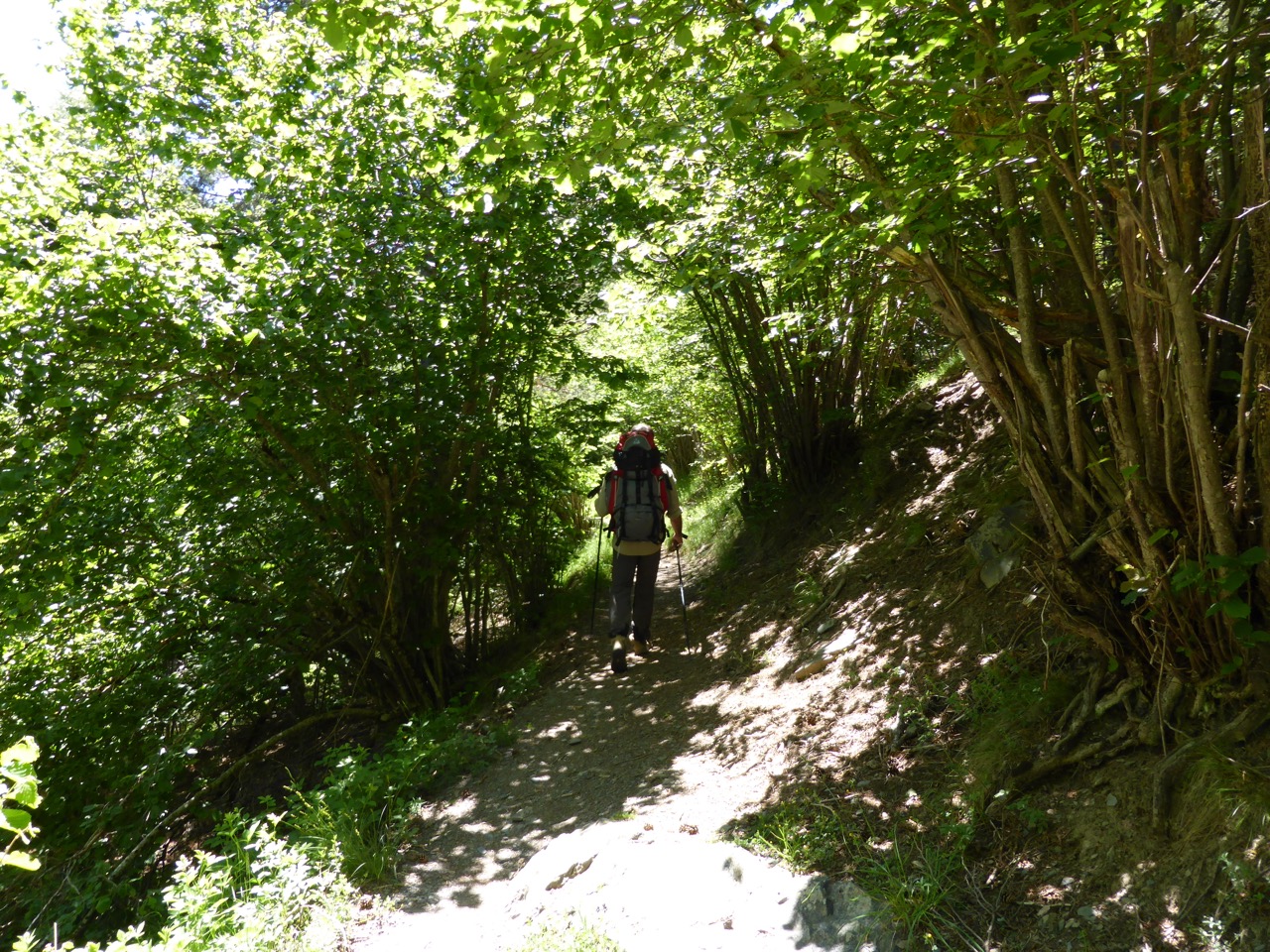
We loaded packs, filled water bottles, tucked snacks into hip pockets, and set off on the marked trail into the park. It's proper trail — dirt path through beech and hazel, dappled shade, gentle climb. Within an hour and a half we were at our first stop: Refugi Mallafré at 1,890 metres.
The plan had been to press on. But our feet were warm from the new boots — the honest kind of warm that says "give me a break" — so we decided to stay. Rich menu, well-cooked food, a small friendly dining room. The refuge is on the smaller side; we hadn't booked and got lucky with the crowd. Sometimes the itinerary changes because the boots ask nicely.
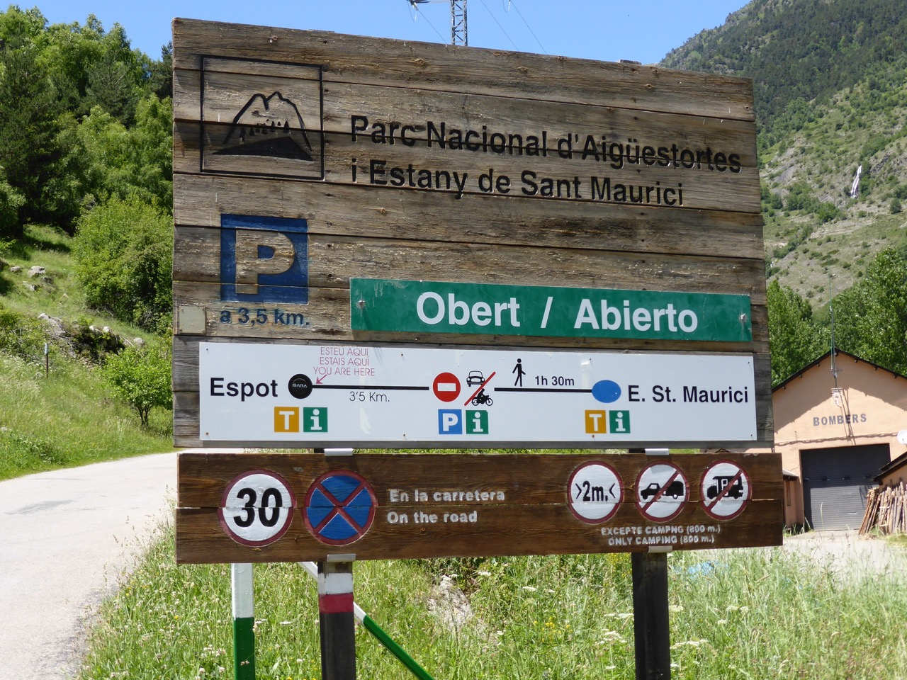
The park entrance sign above Espot. Obert / Abierto — open. From here it's 3.5 km to the parking, then another 1h 30m on foot to Sant Maurici lake.The first section of trail from Espot. Full shade the whole way — a gift on a June afternoon. The kind of forest that makes you forget you're climbing.
• • •
Refugi Amitges — 2,365 metres, and the landscape turns alpine
An early start the next morning for our next target: Refugi Amitges, a high-mountain refuge belonging to the Centre Excursionista de Catalunya, at 2,365 metres inside the national park.
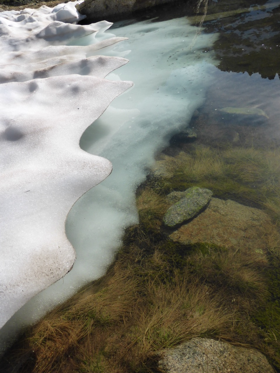
We left the meadow-valleys with their butterflies and grazing cows and started climbing hard. The trail crosses waterfalls, hugs the edges of alpine lakes, and — as you gain altitude — the terrain flips: greener meadows give way to open rock, and by the time we crested onto the plateau where Amitges sits, we were walking past the last patches of snow left over from a heavy winter. Some of the tarns still had thin ice on them at the shaded edges, breaking up into a rich ecosystem of insects and standing water. The first tiny high-altitude flowers were pushing through.
Amitges itself is a much bigger refuge than Mallafré — families, older walkers, climbers roped up for the granite spires above. Very organised, rich menu. I still remember the stewed chickpeas in tomato: not fancy, exactly the food you want after seven hours on your feet.
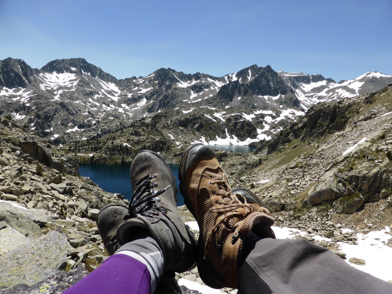
In the afternoon, a short walk out to the shore of the Estany d'Amitges — the light on the water, the wall of the Encantats behind, the shock of quiet up there. Worth the whole day.
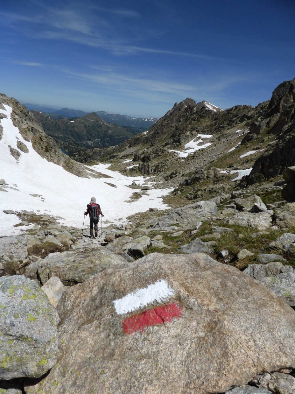
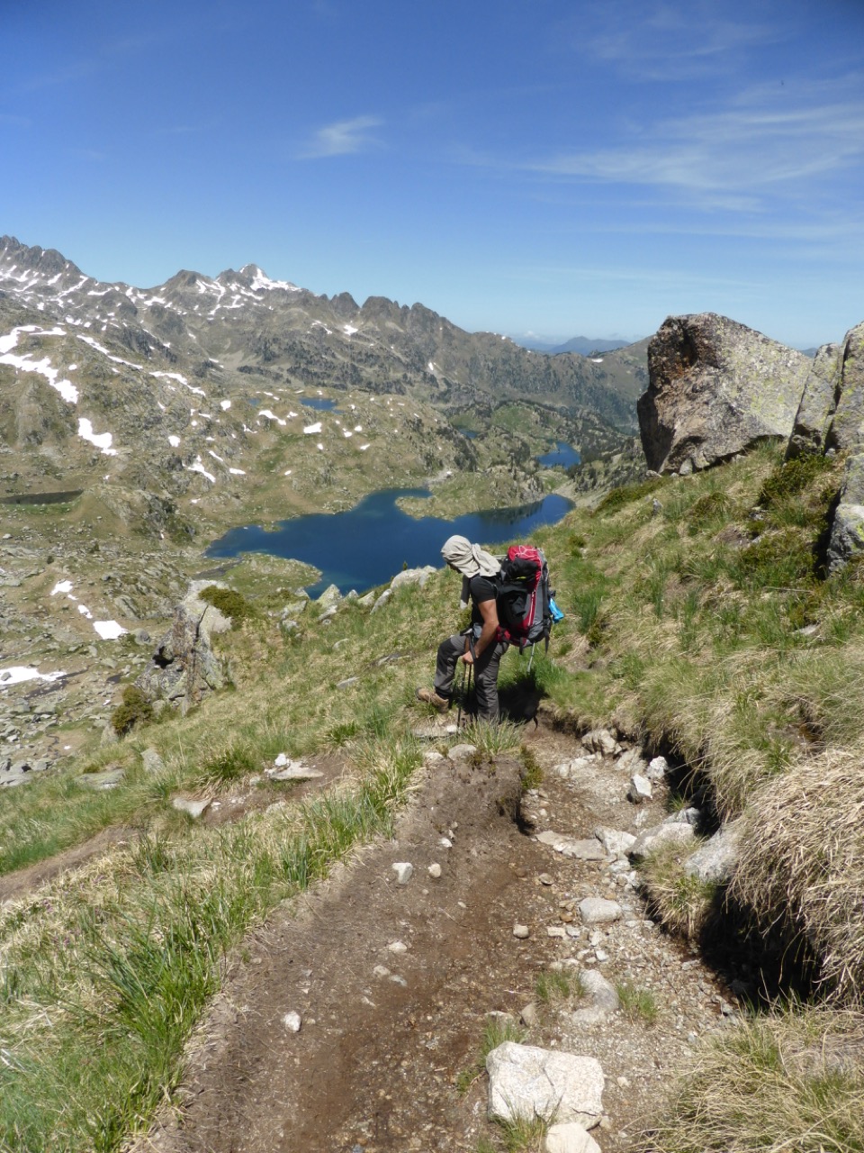
Somewhere between Sant Maurici and the ridge below Amitges. Red-and-white blazes on every third boulder — the trail is impossible to lose even in cloud.The edge of one of the tarns near Amitges, mid-morning. The snow was still sculpted from the winter — clear water underneath, insects already back at work.The pay-off. Boots off, feet up, Estany d'Amitges in front and the wall of the Encantats behind. Held that pose for about half an hour.
• • •
Refugi Colomèrs — trout, and the last long lake
Morning three: fill the snack bag from the Amitges kitchen, and start climbing higher still. The alpine lakes on this stretch were the most striking of the trip — dark blue basins ringed by scree, snow lingering on the north-facing slopes with the first coloured flowers pushing up through the rocks right at the snowline.
The descent on the other side dropped us into a completely different park: rivers, wooded valleys, a chain of lakes at every switchback. Our next refuge, Refugi de Colomèrs, sits at 2,135 metres right on the shore of the Estanh Major de Colomers in the Val d'Aran.
The menu here leans regional — pan-fried trout from the valley streams, plus a rotation of Aranese specialities. Sitting on the terrace at sundown, boots off, watching the light drain from the lake surface — that was one of the trip's quiet peaks.
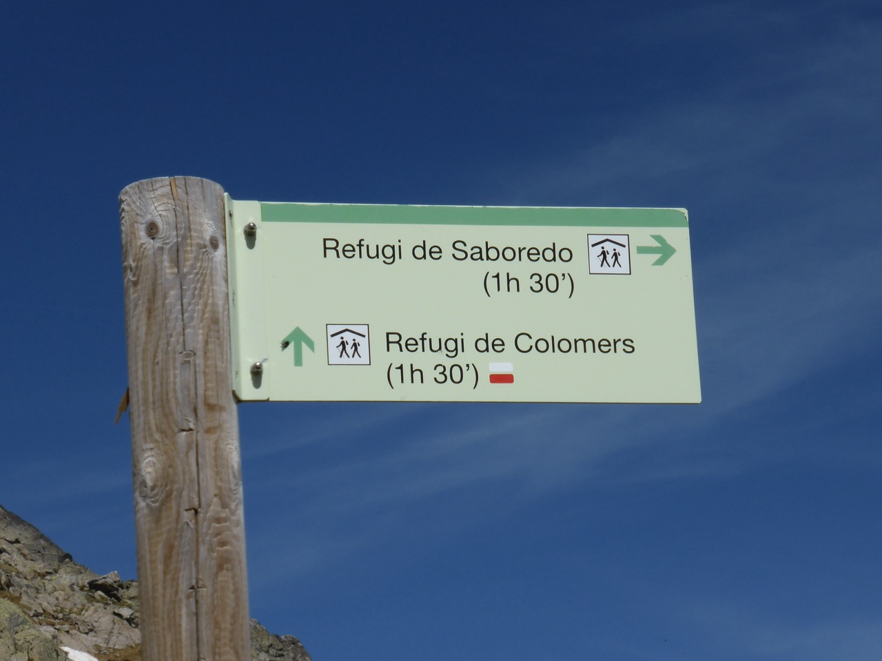
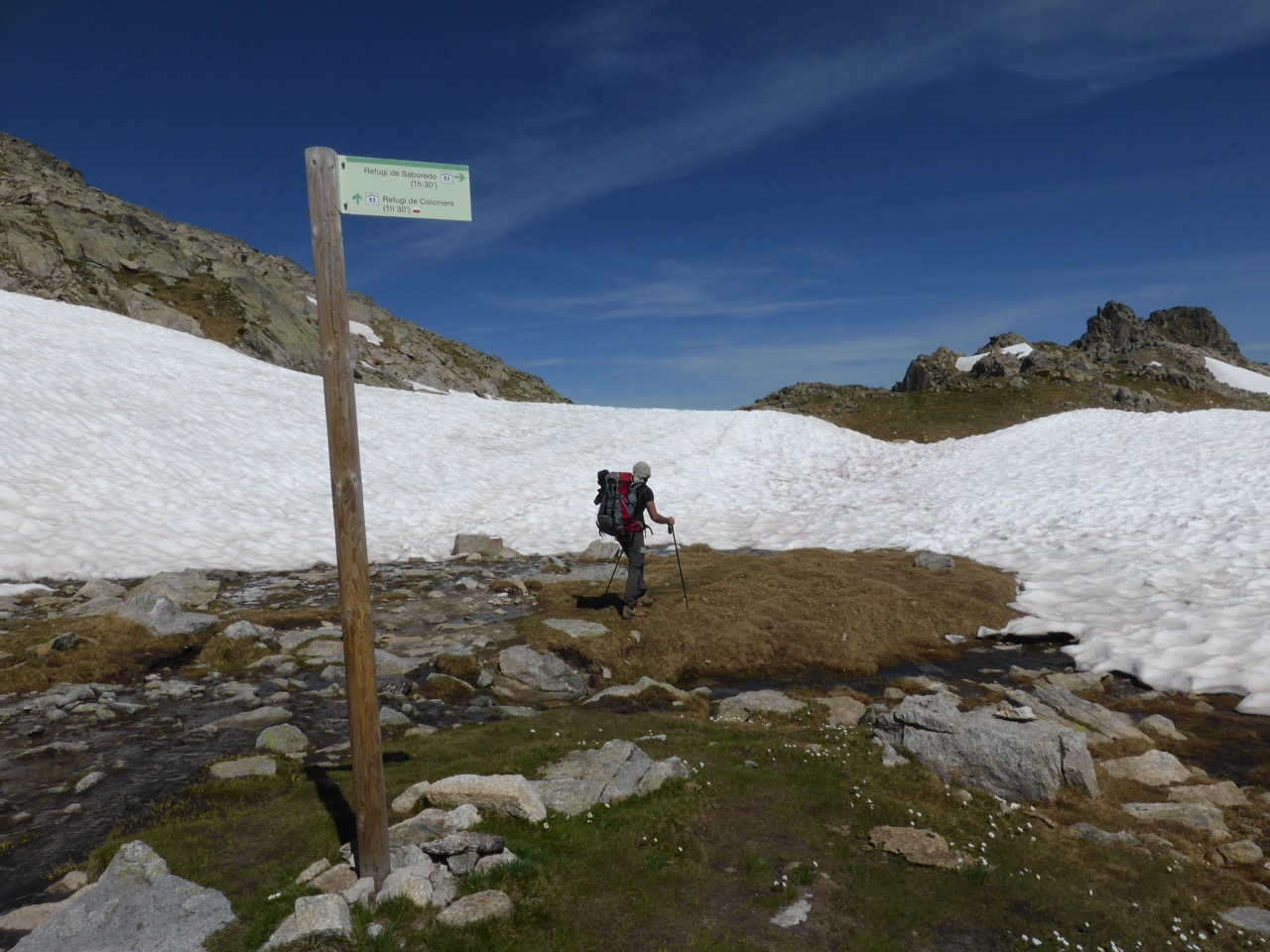
The descent toward Colomèrs. Every switchback opens onto another blue lake — the chain seems to go on forever.The junction below the pass. Two refuges, both 1h 30m away, in opposite directions. This is the sort of decision the Carros de Foc stamp card makes for you.Same junction, wider view. The snow patch was firm underfoot in the morning; by 4pm it was soft and we were glad we'd gone through early.
• • •
Exit via Salardú, and one small thing to remember
From Colomèrs, we followed the marked trail down to the road, where small park shuttles run visitors out to the surrounding villages. We rode out to Salardú in the Val d'Aran — stone houses, a Romanesque church, and the very specific feeling of being back in a village after four days above 1,800 metres. A shower has never felt more like a luxury.
From there, a bus back to Barcelona and one more slow day in the city before the flight home.
One tip — don't forget the stamps
Every refuge along the Carros de Foc circuit has its own stamp. Pull the card out at check-in, ask for the sello — takes ten seconds. When you get home and put the card in a frame with the map next to it, that's the souvenir. Not a fridge magnet. Not a t-shirt. The stamps.
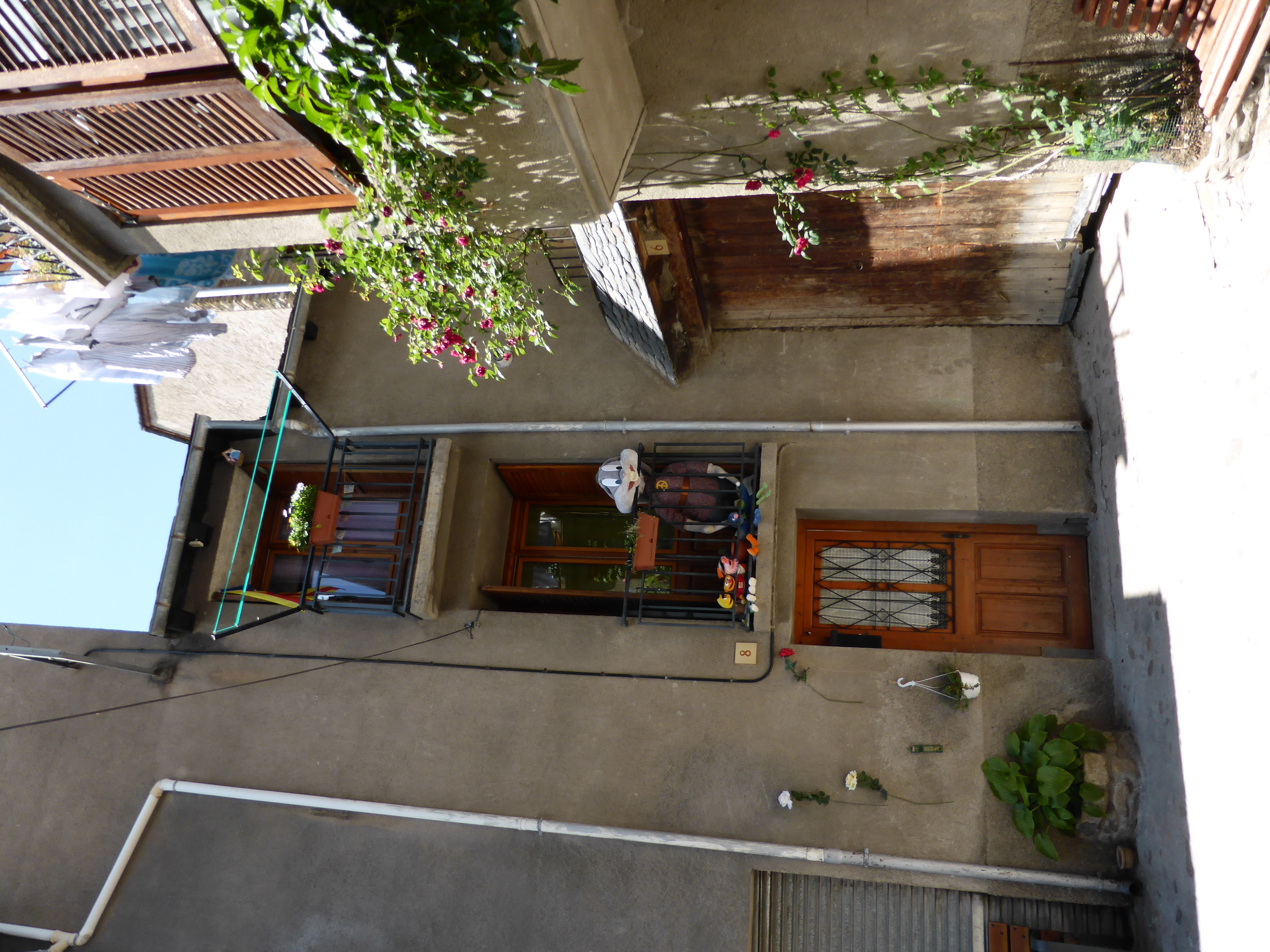
Back in Salardú. Wooden shutters, roses climbing the wall, someone's laundry drying on the balcony rail — the very specific feeling of being back in a village after four days above 1,800 metres.
Tell Famila.Travel your dates and your kids' ages — it'll route you between the mountain refuges with realistic daily distances, weather, and family-appropriate stops.